For the last three years during the last week of October I have taken what I now call my annual autumn road trip. My first, three years ago, I stayed within the State of Kansas. Camping 6 days and 5 nights in couple different campgrounds all within 2-3 hours from home. Last year I decided to make it an actual “road trip” and spent 2 days at Indian Cave State Park in Nebraska, two days back in the Flint Hills region of Kansas and then 3 days at Robbers Cave State Park in Oklahoma. It was a great time camping every night under the stars and exploring new lands each day.
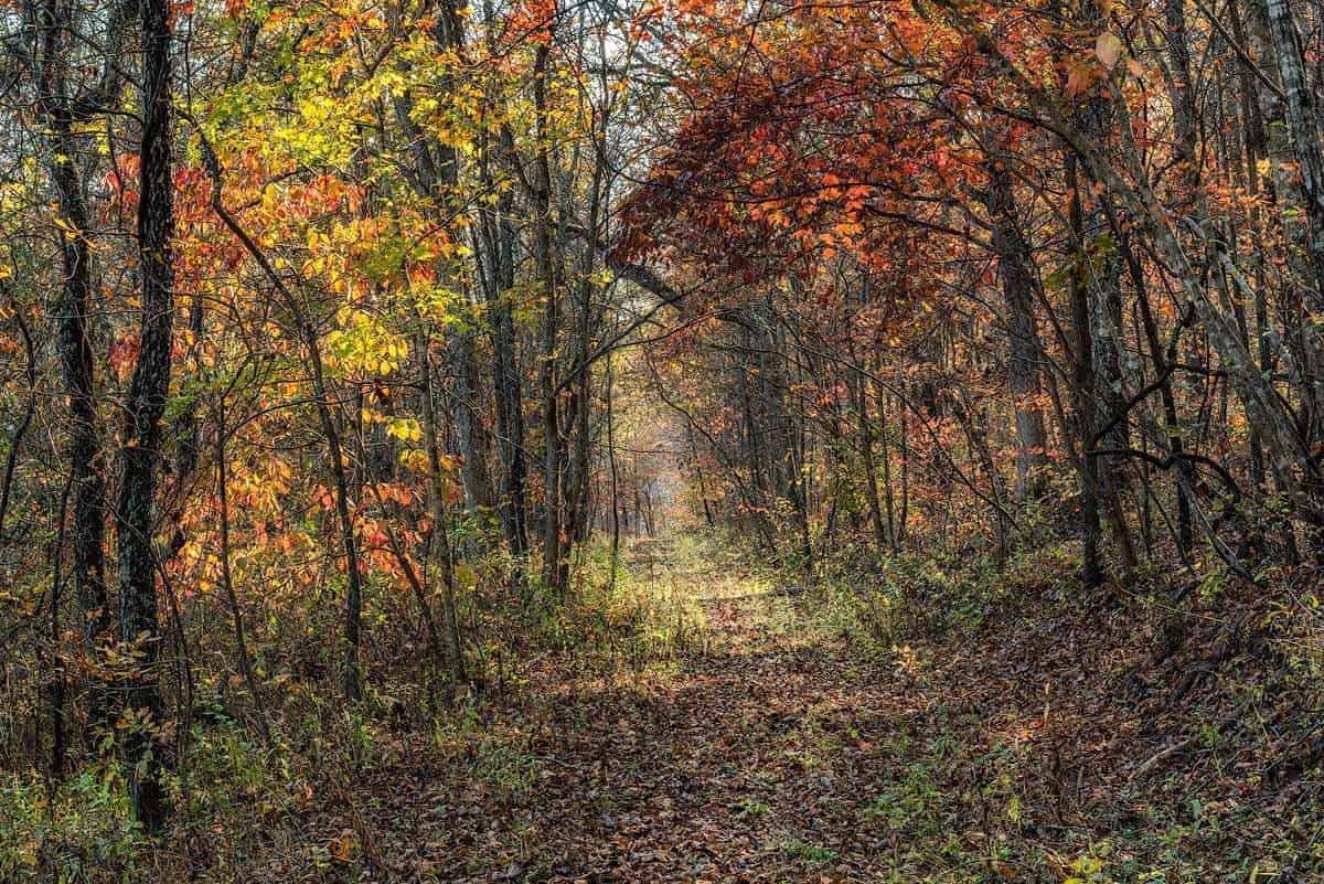
This year I headed to the Ozarks of Southern Missouri and once again I was not disappointed. I arrived at my 6 day 5 night home away from home about 30 minutes before sunset. Alley Springs Campground, approximately 5 miles west of Eminence MO. I wasted no time setting my tent up, building a small fire and enjoying the peaceful sounds of nature. Alley Springs Campground is a fairly large campground. There were only two other campers there making us all spread out as far as possible from each other. I had a spot backed up to the woods and had the pleasure of listening to a couple of owl’s hootin’ back and forth each night a couple of hours after dark. Nights were cool dipping down to the high 40’s to low 50’s and the morning were all very misty and foggy. The campground runs next to the Jack Fork’s River which helped with the misty/foggy mornings. For fun here is a google maps link to my exact camping spot. Campsite Alley Springs Campground.
When I decided to make the Ozark areas of Missouri my destination I knew I would need some advice on places to go and what to expect. Being a faithful follower of Tim Ernst and his Journal I knew where I could get a couple of good books on the area. I ended up purchasing three books. Missouri’s Natural Wonders Guidebook by Don Kurz, Scenic Routes & Byways by Don Kurz, and Arkansas Nature Lover’s Guidebook by Tim Ernst. My main source of information was culled from Missouri’s Natural Wonders Guidebook. All three of these books are fantastic sources of information for the areas they represent. Complete with information and most importantly GPS coordinates for each area. This proved to be very valuable information.
Daily accounts of my stay started the night before and deciding where to go the next day. Then plugging GPS coordinates in to my trusty Garmin and hitting the road. Each day started about an hour before sunrise. Crawl out of the tent and start the coffee! The first two hours of daylight and the last two hours before sunset were my main “serious” photography times. The middle parts of my days were spent checking out new areas for the follow day, or hiking and exploring further in present locations.
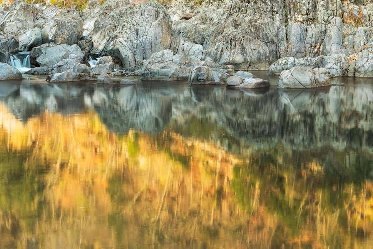
Places I managed to visit were: Klpezig Mill, Rocky Falls, Mill Mountain Natural Area, Prairie Hollow Gorge Natural Area, Virgin Pine Forest, Devil’s Well, Blue Springs, Grasshopper Hollow Natural Area, Lick Log Hollow, Welch Springs, Alley Springs, Stegall Mountain Natural Area, and Johnson’s Shut-Ins. This kept me busy to say the least! Plus I hiked a few hours on the Ozark Trail that ran through a couple of these areas. Each one of these areas are wonderful with unique features of the landscape. It was a trip well worth the time and effort and one that I may very well repeat in the future.
As with my last post on my California trip I have put together a collection of images. This collection will more than likely grow a bit more as I continue to go through the hundreds of photos that were taken.